Past Work
Cheshire Rail Trail South Planning Project
Rail trails have long been recognized as a way to improve local and regional opportunities related to transportation, recreation, economic development, and public health. A variety of individuals and groups take on maintenance of rail trails, and they are enjoyed routinely by residents and visitors alike.
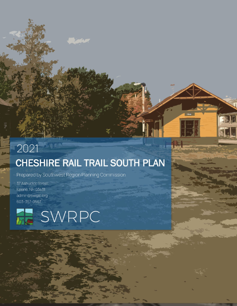
The Cheshire Rail Trail South Planning Project aims to address challenges and opportunities along the trail from its intersection with the Ashuelot Rail Trail in Keene through Swanzey, Marlborough, Troy and Fitzwilliam to its end near the Massachusetts State line (study area map). The project involved collecting data on existing trail use, conditions and amenities and conducting meetings among municipal and other stakeholders to both share information and consider maintenance, connectivity, safety, and coordinated improvement to the trail. The project resulted in a common vision and 10-year plan for the trail to better inform volunteer groups, local government and regional and statewide transportation planning.
Read the Final Plan

Explore the Interactive Map for the Project Implementation Plan
Past Working Group Meetings
- 07/02/2111:00 AM
Cheshire Rail Trail South Working Group Meeting #3
Friday, July 02, 2021
11:00 AMAdd to CalendarFriday, July 02, 2021 11:00 AMFriday, July 02, 2021 12:30 PMESTCheshire Rail Trail South Working Group Meeting #3For more information, contact:
- 02/04/2112:00 PM
Cheshire Rail Trail South Working Group Meeting #2
Thursday, February 04, 2021
12:00 PMAdd to CalendarThursday, February 04, 2021 12:00 PMThursday, February 04, 2021 1:30 PMESTCheshire Rail Trail South Working Group Meeting #2For more information, contact:
Henry Underwood
- 12/01/204:00 PM
Cheshire Rail Trail South Working Group Meeting #1
Tuesday, December 01, 2020
4:00 PMAdd to CalendarTuesday, December 01, 2020 4:00 PMTuesday, December 01, 2020 5:00 PMESTCheshire Rail Trail South Working Group Meeting #1SWRPCMeeting Location: SWRPC
For more information, contact:
Henry Underwood
Project Documents and Resources
- Literature Review – Inventory of existing trail-related plans, policies, laws, or other documents
- Bicycle/Pedestrian Counts – Overview of bicycle and pedestrian counting activities conducted to date and summary of collected data.
- Online Survey – Analysis of results from the online resident survey.
- Stakeholder Interviews – Summary of responses from municipal staff and officials focusing on information relative to plans for improvements, needs, promotion, land use issues, previous planning and more.
- Condition Assessment – During the project, SWRPC staff piloted a data collection tool for assessing the trail “at speed” – in this case when riding a bicycle. The results show promise for a future assessment and should be verified in the field prior to being used in decisions about projects.
- Photos and Google Street View Images – The resource consists of a gallery of photos taken during the trail condition assessment and other visits.


 Agenda
 Rail Trail Planning