
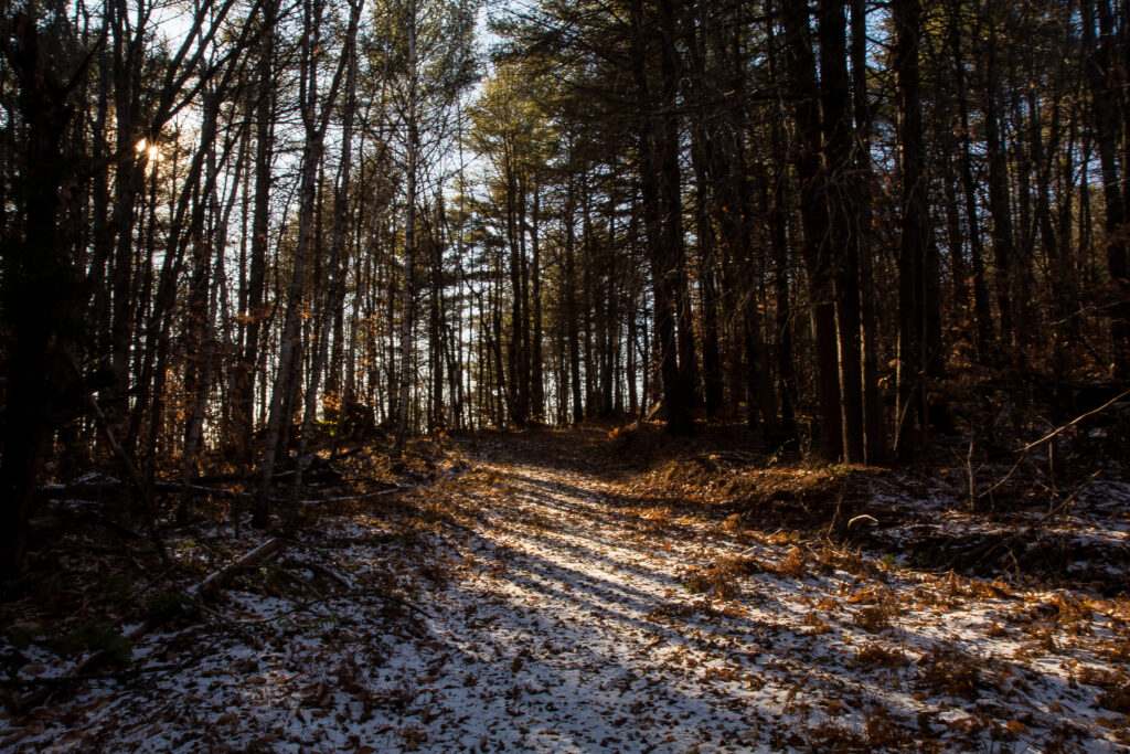
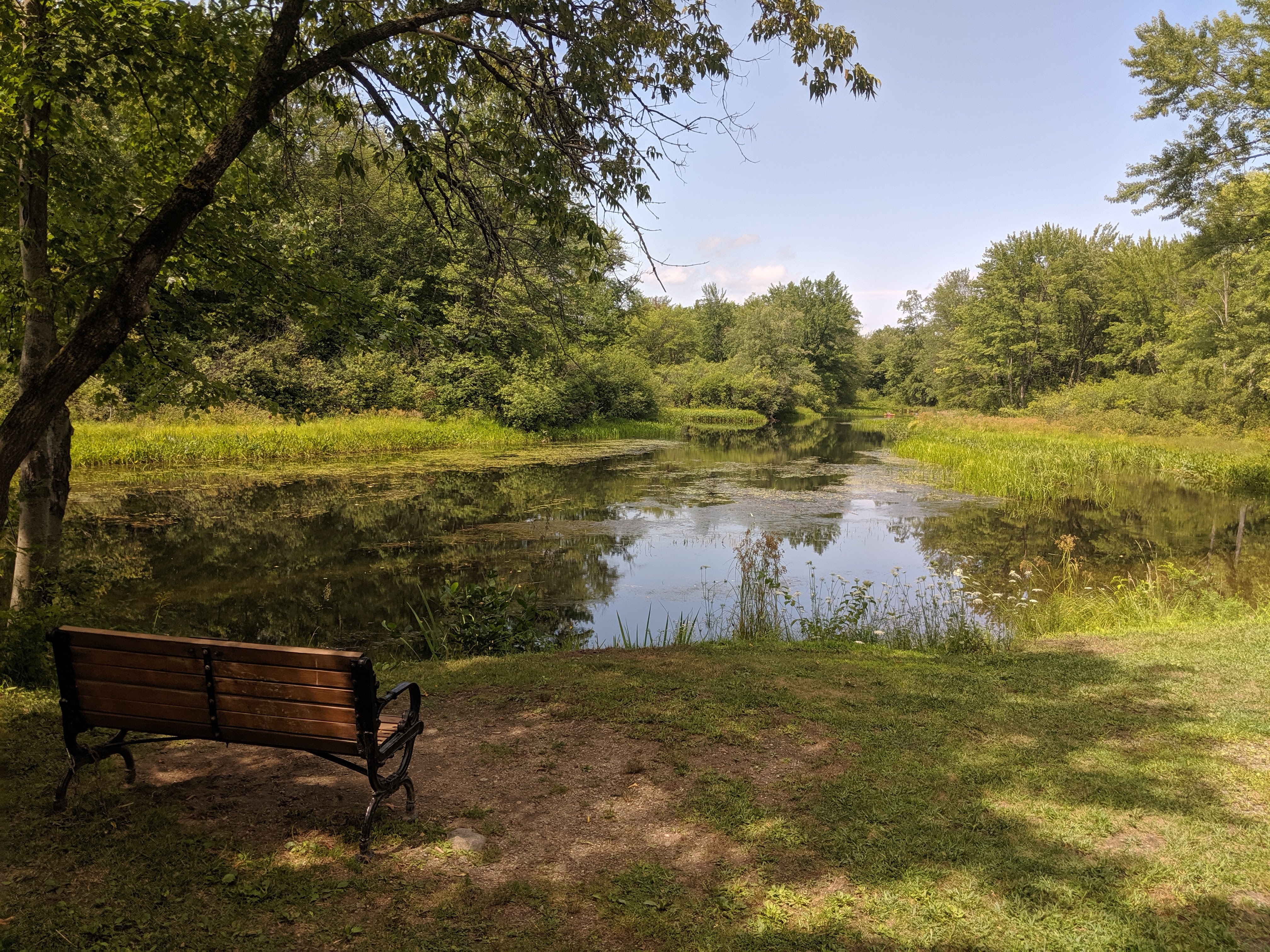
The health and well-being of our region depends on protecting the natural environment—our air, water, forests, and wildlife habitat. Our economy also depends on protecting the natural areas valued by residents and visitors as places to hike, canoe, hunt, fish, and more. Protecting our natural resources requires thoughtful planning and balancing other community needs like housing and business development.
SWRPC works to promote sound natural resource planning in a number of ways. Some examples include:
- We organize and facilitate meetings of the Energy and Natural Resources Advisory Committee, which serves as a forum for education and discussion on key environmental issues facing the region.
- We work with communities to develop master plans and land use ordinances, which often address local environmental challenges and goals.
- We partner with towns to conduct studies and projects focused on particular environmental issues. Recent examples include our watershed management planning work focused on Lake Warren in Alstead. We’ve conducted similar work focused on Spofford Lake in Chesterfield.
We also conducted region-wide analyses of environmental resources and challenges. This work is exemplified by the Southwest New Hampshire Natural Resources Plan.
Natural Resources Plan
To assist the planning process and facilitate dialogue among communities and others around natural resource protection and management, the Natural Resources Plan provides an overview of the significant conditions and trends, issues and challenges and opportunities facing the Region’s diverse natural resources, and the infrastructure we rely on to safely access and utilize these resources. It highlights strategies for communities, organizations, and others to consider in addressing natural resource, water infrastructure, energy, and climate challenges at the regional and local level.
Resources & Helpful Links
Contact Information
Southwest Region Planning Commission - Staff
T: 603-357-0557
Questions: [email protected]
Helpful Links
 SWRPC Energy & Natural Resources Advisory Committee
NH Local River Management Advisory Committees
Monadnock Sustainability Hub
NH Department of Environmental Services
SWRPC Energy & Natural Resources Advisory Committee
NH Local River Management Advisory Committees
Monadnock Sustainability Hub
NH Department of Environmental Services
Resources
SWRPC’s Resource Library
Ashuelot River Corridor Management Plan Update
The Ashuelot River flows through ten towns in Southwest New Hampshire beginning in Washington and ending in Hinsdale where it meets the Connecticut River. The project objective is to update the Ashuelot River Corridor Plan which was last updated in 2006. Since that time, the effects of climate change have impacted the watershed with more frequent storm events of greater magnitude causing erosion and flooding in various reaches of the river. Seasonal water quality monitoring reflects the effect of nonpoint source pollution with high E. coli levels following heavy storm events.