
Transportation
Rail Trail Planning
The Monadnock Region benefits from an extensive network of former railroad corridors that now function as multiuser trails. These trails serve snowmobilers, walkers, bicyclists, equestrians, cross-country skiers, snowshoers, and others. They attract visitors and provide an important recreational amenity to residents. In some areas, they also operate as important transportation infrastructure, providing a safe route for walkers and bicyclists to commute to work, travel to/from school, or to access daily needs.
Since these trails are enjoyed by such a wide range of user groups and because they cross town boundaries, their development and management require coordination. SWRPC has taken a leadership role in facilitating trail improvement planning efforts among a diverse coalition of stakeholders. To date, our work has focused primarily on two segments of trail: the Ashuelot Rail Trail and the southern section of the Cheshire Rail Trail. You can learn more about our planning efforts along the Ashuelot Rail Trail and Cheshire Rail Trail South by clicking on their project page links below.
Resources & Helpful Links
 Cheshire Rail Trail South Planning Project Page
 Rail Trails Funding Sources Handout
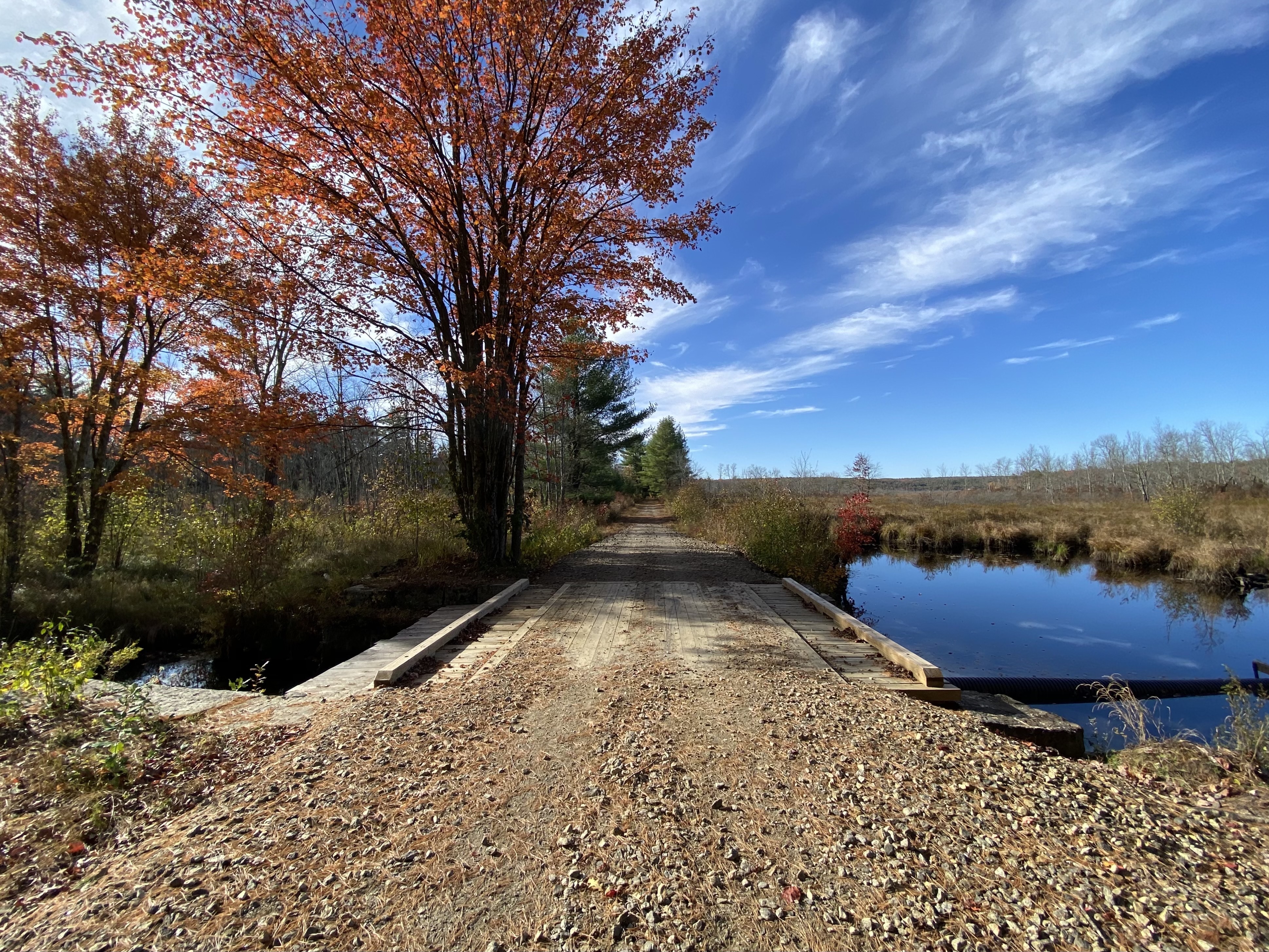
Cheshire Rail Trail South Planning Project
The Cheshire Rail Trail South Planning Project aims to address challenges and opportunities along the trail from its intersection with the Ashuelot Rail Trail in Keene through Swanzey, Marlborough, Troy and Fitzwilliam to its end near the Massachusetts State line (study area map). The project involved collecting data on existing trail use, conditions and amenities and conducting meetings among municipal and other stakeholders to both share information and consider maintenance, connectivity, safety, and coordinated improvement to the trail. The project resulted in a common vision and 10-year plan for the trail to better inform volunteer groups, local government and regional and statewide transportation planning.